
The northern prefectures of Iwate and Akita aren't often on the average traveller’s radar, but hikers and outdoor lovers may want to take note - the Hachimantai area offers some excellent walking trails featuring stellar scenery that you don't have to break into a sweat to appreciate.
The Hachimantai area straddles the border between Akita and Iwate prefectures and comprises the southern part of the Towada-Hachimantai National Park. The park's peaks may seem to rise quite a fair bit above sea level but most of the walks start at an already high altitude, making for some relaxing alpine "trekking" without the initial climb.
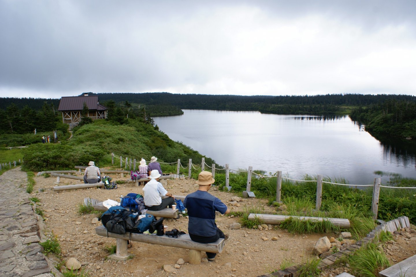
Perhaps one of the most enjoyable loop hikes the sprawling park offers is the nature trail around Onuma Lake. A series of steps leads up from the two large parking lots near the mountain's crest (follow signs for Hachimantai Summit to get there). The climb is only about ten minutes in length before the path levels out and you're treated to sweeping views over the neighboring mountains, including the not-too-distant peak of Mt Iwate, a mountain that looks nearly identical to the more famous Mt Fuji.
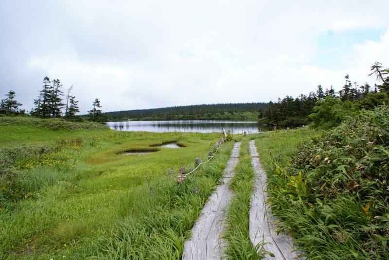
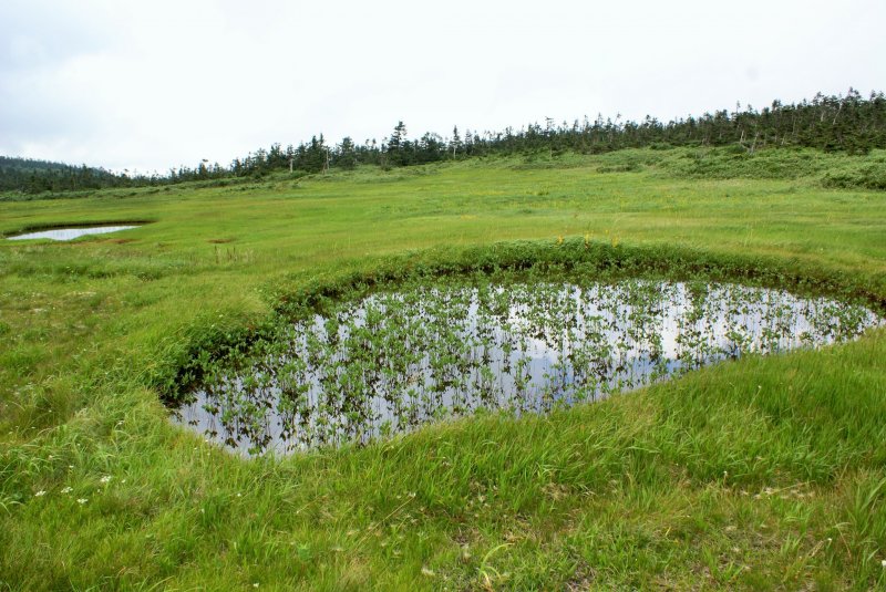
After that first climb, the trail leads through a small wooded area before turning into a boardwalk and meandering across the wetlands. Lake Onuma is not the only body of water here; other smaller ponds dot the landscape, including the scenic "megane lakes", said to resemble a pair of glasses (megane means glasses in Japanese). In the summer time, numerous wildflowers and other alpine plants bloom all around the marshlands. In autumn, the grasses turn various shades of oranges and yellows, making for a rather unique fall foliage destination.
The hike culminates in the summiting of Mt Hachimantai, though in truth the short climb up to the "peak" is rather anticlimactic and the view is fairly poor compared to other spots along the trail. If you're seeking greater thrills, take one of the side trails that branch off from the main nature loop, leading to additional summits in the area.
While the on-site visitors' center did not offer hiking maps in English, there is a very good map board at the start of the trail as well as additional map boards at various trail junctions. Despite feeling that I was missing something by not physically carrying a map, I never once got lost and it was very easy to follow the path and use the larger map boards to orient myself.
Allow about two hours to hike the entire nature loop; there are several places along the way to stop and enjoy a snack or a full picnic.


